Microsoft Releases 12 million Canadian building footprints as Open Data
Bing continues to invest and innovate in the space of computer vision and geospatial intelligence.
Following our release of US buildings footprints last year, we’ve been looking for new markets to apply our techniques, and opportunities to continue our commitment to the open data community. As a result, the Bing Maps Team collaborated with Statistics Canada to deliver these 12 million building footprints, released as Open Data!
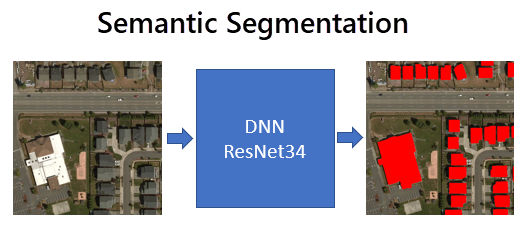
To handle the different challenges present in Canada compared to the prior US results set, the team expanded their approach by iterating on the segmentation-based solution built on CNTK to tune its performance to the different data set.
 Canada presents a larger geographic area, difference in biomes and types of terrain. This required significant performance optimizations, new true-negative training sets as well as retraining for varying resolutions of imagery. This ability to adapt to a significantly different data set proves both the scalability and generality of our solution.

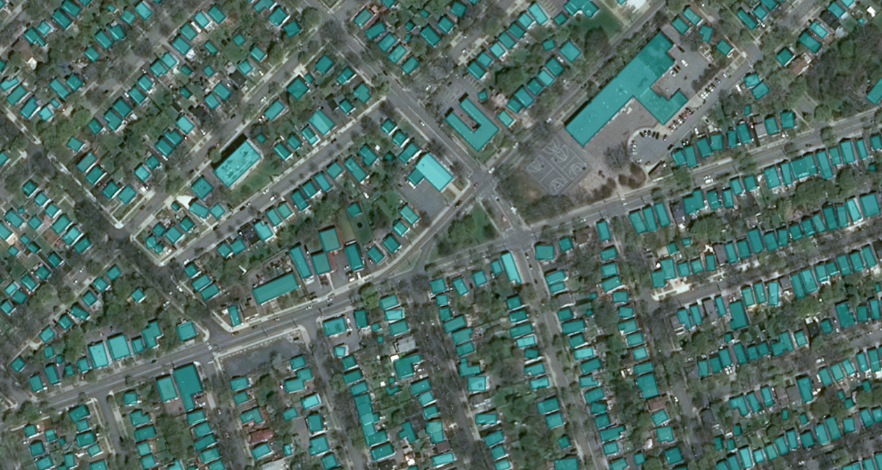
The result is 12,663,475 footprints, spread across all Canadian Provinces and Territories, open for download, and usable for research, analysis and of course, OpenStreetMap. You can read more about this offering and download the data from GitHub.
Many thanks to the excellent work done by Statistics Canada. Further information is available on the CNTK toolkit and the ResNet34 model.
– Bing Maps Team
Source: Bing Blog Feed
