Get the Ground Truth You Can Handle with the JOSM Streetside Plugin
One of the many challenges faced by the mapping the world is the availability of ground truth. Today most mappers remotely map an area. Even with the variety of aerial imagery available, the details or perspective of the area being mapped can be lacking.
To provide mappers with the most information possible, the Microsoft Open Maps team has created a JOSM plugin. This plugin makes all of the Streetside imagery currently available on Bing Maps available for editing in OpenStreetMap.

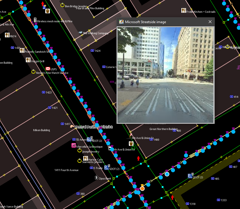
Once the plugin is installed, all the bubbles in a region can be loaded with hotkey: "shift+comma".
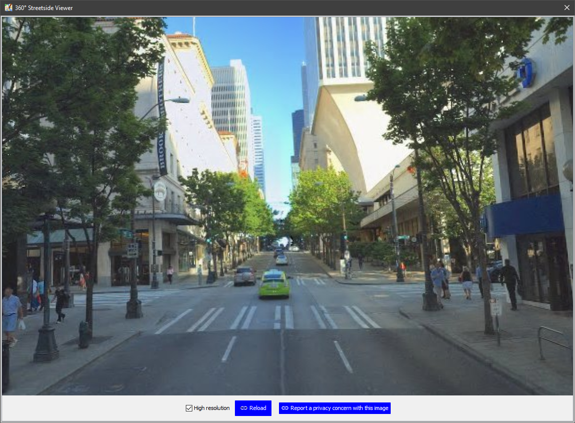
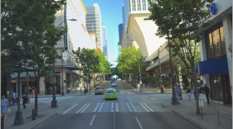
We’ve made a lightweight solution to preview the content of a bubble in the image preview window (check the Windows menu if you don’t see it). Clicking on a bubble will load the full 360 view in the viewer window.

We believe that this tool enables mappers to do more by providing additional context and perspective via streetside imagery. To learn more about the Streetside JOSM plugin, check out the User Guide.
We hope the community finds this tool useful and enables it in the future mapping efforts.
– Bing Maps Team
Source: Bing Blog Feed
