Harnessing the power of the Location of Things with Azure Maps
The Internet of Things (IoT) is the beginning of accessing planetary-scale insights. With the mass adoption of IoT and the very near future explosion of sensors, connectivity, and computing, humanity is on the cusp of a fully connected, intelligent world. We will be part of the generation that realizes the data-rich, algorithmically deterministic lifestyle the world has never seen. The inherent value of this interconnectedness lies within the constructs of human nature to thrive. Bringing all of this information together with spatial intelligence has been challenging to say the least. Until today.
Today, we’re unveiling a cross-Azure IoT collaboration simplifying the use of location and spatial intelligence used in conjunction with IoT messaging. The result is the means for customers to use Azure IoT services to stay better informed about their “things” in terms of space. Azure IoT customers can now implement IoT spatial analytics using Azure Maps. Providing spatial intelligence to IoT devices means greater insights into not just what’s happening, but where it’s happening.
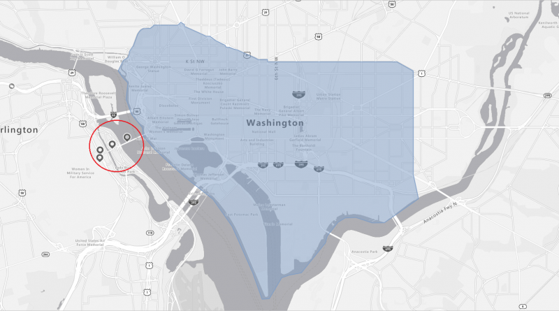
Azure Maps provides geographic context for information and, as it pertains to IoT, thus geographic insights based on IoT information. Customers are using Azure Maps and Azure IoT for monitoring movement of assets and cross reference the “things” with their location. For example, assume a truck is delivering refrigerated goods from New York City to Washington DC. A route is calculated to determine the path and duration the truck should take to deliver the goods. From the route, a geofence can be created and stored in Azure Maps. The black box on the truck tracking the vehicle would provide Azure IoT Hub to determine if the truck ever leaves the predetermined path. If it does, this could signal that something is wrong—a detour could be disastrous for refrigerated goods. Notifications of detours could be setup and communicated through Azure Event Grid and sent over email, text, or a myriad of other communication mediums.
When we talk about Azure IoT, we often talk about data (from sensors) which leads to insights (when computed) which leads to actions (a result of insights). With The Location of Things, we’re now talking about data from sensors which leads to insights which leads to actions and where they are needed. Knowing where to take actions has massive implications in terms of cost efficacy and time management. When you know where you have issues or opportunities, you can then make informed decisions of where to deploy resources, where to deploy inventory, or where to withdraw them. Run this over time and with enough data and you have artificial intelligence you could deploy at the edge to help with real-time decision making. Have enough data coming in fast enough and you’d be making decisions fast enough to predict future opportunities and issues—and where to deploy resources before you need them.
Location is a powerful component of providing insights. If you have a means of providing location via your IoT messages you can start doing so immediately. If you don’t have location natively, you’d be surprised at how you can get location associated with your sensors and device location. RevIP, Wi-Fi, and cell tower triangulation all provide a means of getting location into your IoT messages. Get that location data into the cloud and start gaining spatial insights today.
Source: Azure Blog Feed

